Monday, June 4, 2018

A Morning Walk up the Mount of Olives

Today in Jerusalem I took advantage of the cool morning air to hike to the top of the Mount of Olives.
Looking up toward Temple Mount from the Mount of Olives
After a light Israeli breakfast my journey began by turning right out of the door at the Abraham Hostel.
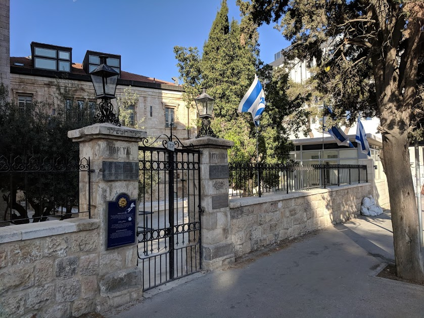
Rothschild Hospital in Jerusalem
I walked down HaNevi’im Street, or the street of the Prophets.
An Italian Hospital, now Israel Ministry of Education in Jerusalem
There are many interesting old buildings from the British era and before.
Shops near the Damascus Gate
I turned onto Sultan Suleiman Street, where I saw several markets selling fresh food.
Small shop with fresh fruit
Sultan Suleiman is an Ottoman ruler who built the current walls of Jerusalem about 500 AD.
Man with cart near the Damascus Gate
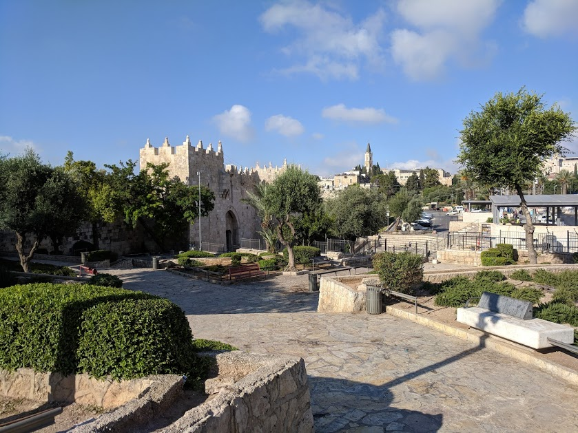
I came up to the wall at the Damascus Gate,
Approaching the Damascus Gate
Where an old Roman gate can be seen below the entrance.
The Two Damascus Gates
I walked through the Walls of Jerusalem National Park and passed Zedekiah’s Cave.
Zedekiah's Cave
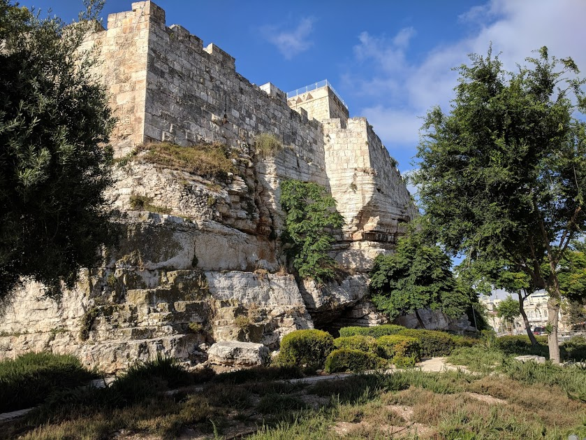
The walls are built on high bedrock in this area.
Walls of Jerusalem on Bedrock
Vendors were setting up the market at Herod’s gate (Flower Gate) as I passed.
Herod's Gate
Then I took a walkway through an Islamic cemetery.
Mount of Olives from Islamic Cemetery
I got a great view of Lion’s Gate from the cemetery which stood above the gate.
Stephen Gate in Jerusalem
From there I went into the Kidron Valley,
Kindron Valley, Absalom's Tomb in the valley
And passed the Church of St. Mary. There is a grotto here where Jesus prayed on the night he was arrested.
Grotto of the Virgin Mary
Also an Orthodox church, which is supposedly the place where the Virgin Mary was buried. This cave is quite ornate.
Tomb of the Virgin Mary
The Church of All Nations with its ancient Olive Trees is across the street.
Church of All Nations - Old Olive Trees
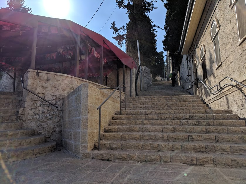
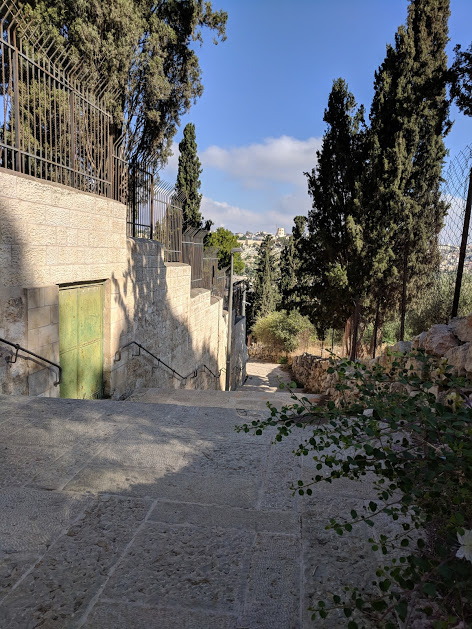
I found a set of stairs and walked up.
Stairs leading to top of Mount of Olives
The walk afforded great views!
View of Jerusalem from Olivet's Steps
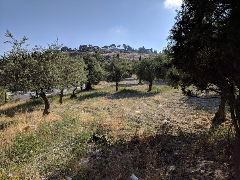
There was a trail through an Olive Grove where I could picture King David and Jesus walking as they traversed the Mount of Olives.
Path through the Olive Orchard
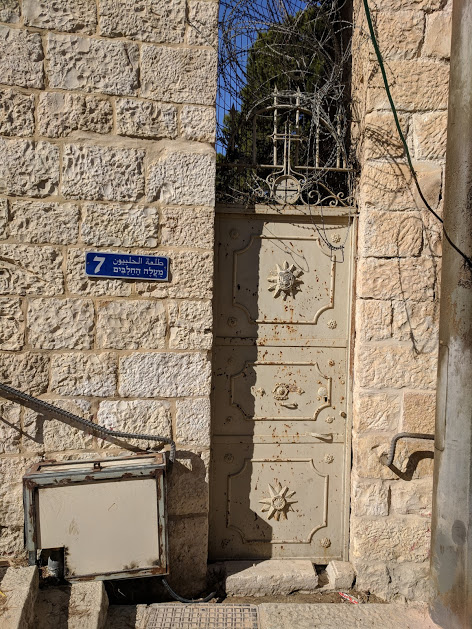
The stairs were like a road with homes along the way.
Doorway along the steps
At the top I reached Pater Noster Church, which is reported to be a place where Jesus taught. This might have been the place he prayed on his last night.
Pater Noster Church from Entrance
There was a 10 shekel charge to get in, and my wallet was back at the Hostel, so I looked from the entrance, and decided to come back at some time.
Mosque of the Ascension
I walked over to the Church of the Ascension.
Dome of the Ascension
I listened to a guide inside,
The Place where Jesus ascended to heaven - Acts 1:8
Who explained the footprint of Jesus left at this spot.
Heel mark can be seen on the left

It was an interesting walk. I saw many of the tings I wrote about in my book - Israel: Stories for Your Journey. (If you have not bought one yet, now is the time to click the link and order your copy.)

Sunday, June 3, 2018

Climbing Mount Arbel

The mountain of Galilee called Arbel is an amazing place. The mountain, at just under 600’ above sea level on first hearing is a bit anemic, but normal statistical facts are just one way of looking at the mountain. The more impressive number comes as one begins to understand that Mount Arbel overlooks the Sea of Galilee, which is currently 700’ below sea level. This means a climb up the mountain (and the view off the mountain) is about 1,300 feet. Both the view and the climb are worth the effort it takes to reach the top.
The northern view from Mt. Arbel
An ascent up Mount Arbel begins at a trail head between Magdala and Migdal near the intersection of highways 90 and 807. We got off of a bus, but there is probably also a place for cars. The beginning of the trail is a moderate, but continual ascent with very few stairs.
Mount Nital next to Mount Arbel
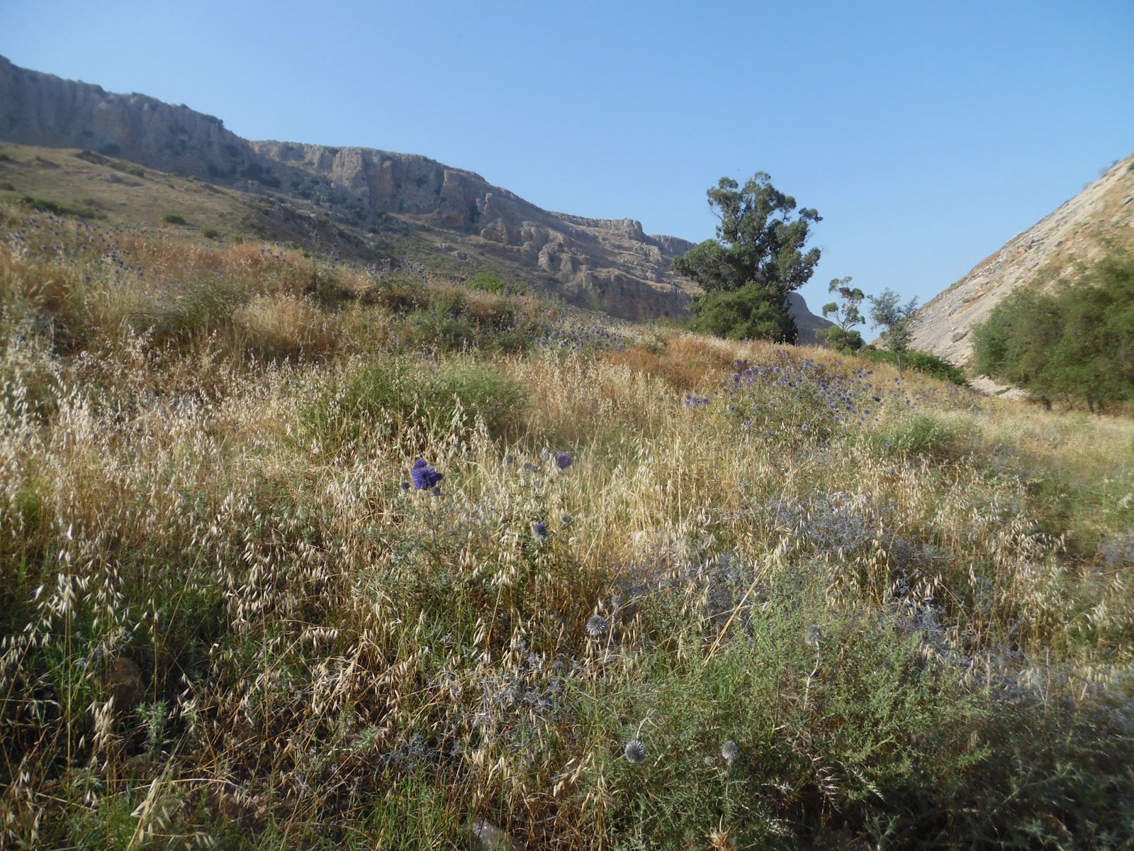
The trail enters the national park across a cattle guard in an area where bovine are grazing. One web posting said, “If you don’t bother them, they won’t bother you.” The cattle add to the scenic appeal along with wild flowers and various types of plants along the trail.
Spring flowers on the trail
The trail ascends between two peaks: Mount Arbel and Mount Nitai (named after a Rabbi of the 2nd Century BC, who is quoted in the Mishnah as saying, “Keep your distance from bad neighbors, ally yourself not with the wicked and do not abandon hope when faced with calamity.”) Notice as you hike the caves on both mountains.
The Horns of Hattin seen from our trail
Rising between the two mountains the hiker will notice the Horns of Hattin, an important battle site where the European Crusaders faced a humiliating defeat to Ayyubid sultan Salah ad-Din, (AKA, Saladin). The actual peak is an old volcano crater.
A stop at the tall rock
The trail ascends to an area with rock outcroppings, which provide seating so the view below can be enjoyed. This is a good time to take a break, because the trail will become steeper beyond this point, and most who take the trail will be ready for a rest. The villages of Migdal, Hamaam, and Ginosar can be seen below. The rest can be short, for the view gets better as one ascends.
Trail signs ... and decisions
The next stop, along an ascent and several steps is at a set of trail markers. At this point it is time to explore some of the nearby caves and to take pictures of the caves on Mount Arbel and Mount Nitai. When it comes time to move on, a choice must be made between two trails. The trail to the left ascends to the top of Arbel with scenic views of the Sea of Galilee. The trail to the right goes through areas of caves towards the visitor center, away from the lake. Both are very beautiful in their own way. The trail along the caves is more difficult.
The Sea of Galilee from Mt. Arbel
The trail to the left crosses many rock outcroppings, contains teps and metal handholds. It ascends between Kinneret and Caro lookouts. The beauty is outstanding. There are many places to sit and enjoy the views, so climbers should not be in a rush to get to the top.
A Cave Dwelling on Mt. Arbel
The cave route gives the climber opportunities to visit the Ottoman Fortress and the caves of Refuge. The caves are interesting because they provided safety zones in times of battle. They were large enough for families and many men to live within, but the arrival pathway was very narrow. Attacking armies were required to travel single file, and could easily be pushed off the mountain upon reaching cave entrances.
Caves on top of caves, a high-rise complex
The caves became hideouts in 161 BCE, when Seleucid commander Bacchides came to fight Judah Maccabee. They were used again in 25 BCE when the people of Galilee resisted a new governor named Herod the Great. They found use again during the great revolts of 70 and 132 AD.
The steep ascent at the top
It could be said that the modern elevator was invented at Arbella. During the revolt of 37 BCE, Governor Herod would not tolerate any resistance, and required his generals to find a way of rooting out the rebels. They finally created a box car which could be lowered from the top of the cliff down to the caves. The car afforded safety railing which prevented soldiers from being shoved off the cliffs.
Reconstructed elevator from 37 BCE

Several Jewish communities existed atop Mount Arbel. Jesus visited the mountain often with his disciples, and it is possible the transfiguration took place at this site.

Friday, June 1, 2018

Archaeological Digs

In the past week I have participated in two archaeological projects.
The Water Project at Tel Gezer
The first was at Tel Gezer, where I was asked to clean the steps leading down into what is known as the water project.
Cleaning the steps going into the earth
The steps, which are over 4,000 years old are made of soft limestone, and chip easily. The work involved careful brushing or lifting dirt with a mini mattock to remove all but surface level dirt, or to reveal the limestone step.
Looking up the steps into the city
The second project was at the first century Arches Reservoir at Sippori.
Information about Arches Reservoirs
Our project at Tsippori began with trash removal and then sweeping surface areas which had been recently excavated in order to obtain archaeological photographs.
Looking into the Cistern when we arrived
These pictures were taken in the early morning to lessen shadows created when the sun is high in the sky.
Archaeological Photography
After the pictures were taken, a tarp was spread and tied over the Arches Reservoir to provide shade as we worked.
Spreading a tarp for the workers
I was asked to remove dirt from a basin in the southern room of the central section of the former cistern (tank which was built for holding the community’s water).
Two Cisterns, our dig is to the left
It is thought that water was brought through channels (or aqueducts) from springs along the ridge of the Nazareth Mountains. When the Arches Reservoirs were first built in the days of Herod Archelaus, the cisterns were filled with water for the population of Sipporus.
The dig is a project of Moskau Institute of Archaeology
For the work in the bowl like hole in the floor I used a trowel to lift dirt, inspect its contents and put it in a bucket for removal. Some of the fill dirt in this project was rich in pottery, which, when found, we placed in a special pottery bucket.
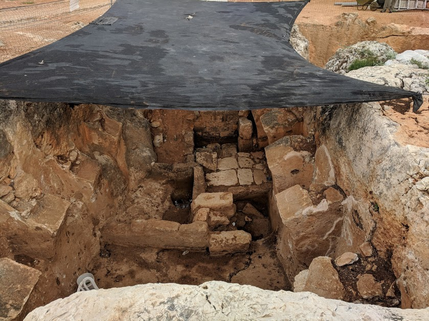
The room under the tarp
When the bowl was cleaned, was moved into a room on the northern side of the central area of the cistern. This small room (perhaps 6’ x 6’) was one of the areas of major focus for our dig. I worked my way down through the dirt between large rocks which had collected into the square.
A picture taken to the west in the cistern
Late in the morning Dr. Tsvika Tsuk, chief archaeologist at the Israel Nature and Parks Authority looked at the room and identified the large rocks as blocks of the arches which had fallen. The roof structure was held up by Roman arches with stone crossmembers. These collapsed at some time during the cistern’s 2,000 year history.
Removing large rocks in the Cistern
The large blocks used for arch construction were salvaged and moved into the southern room of the cistern. They will be numbered and removed at a later date by crane. The other rock in the hole was demolished so it could be put into buckets and lifted to a ground level area designated for rock removal.
Rocks labeled for reconstruction of the Arches
When the rocks were removed (and when subsequent rocks were removed), each of the diggers in turn removed more dirt from the room. Eventually we went down four or five feet below the beginning surface and revealed two steps into the room.
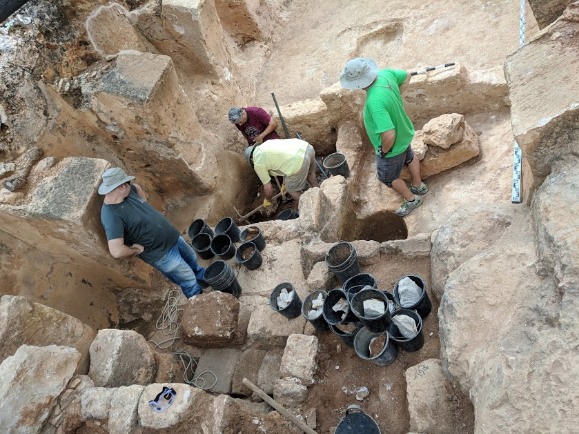
The dig in progress
We also worked on dirt removal in an area on the western end of the cistern. The dirt was sandwiched between a newer wall and the original southern end of the water reservoirs. Six to eight feet of dirt was removed from this area, and we found (after three days of digging) the original cistern floor.
A group visiting from Atlanta, GA
During one afternoon at the dig, a tour group (known to our leaders) came and participated in the dig. All enjoyed the activities and the finds.
Close-up of central rooms in the Cistern
Picks (called a mattock) and digging hoe were used to loosen large amounts of dirt and to scoop it into the little black buckets. As the work progressed, I became part of a chain which lifted dirt out of the hole. After the dirt reached the surface area it was placed in a wheelbarrow, and dumped into areas designated for each part of the dig. During the last two days of the dig I was the designated carter and dumper.
A new use for black archaeological buckets
After the dirt was dumped, one of the archaeologists would come to each pile of dirt and examine it for metal. He discovered lots of nails and a few coins.
Workers near the end of the project
We also found Roman glass, roofing tiles, a mosaic block, and plaster.
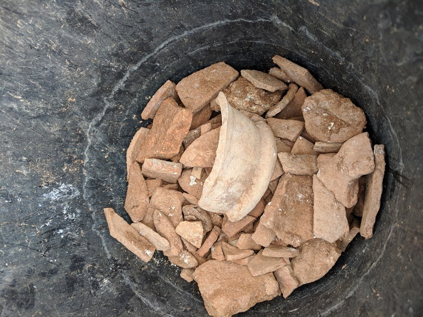
Bucket of recovered pottery
Each day the archaeologists would speak about findings. They continued to think about what was found after they went home, and shared developed ideas each morning.
Coin from the Arab period
There were two layers of plaster in the cistern. The first was grey and the second was pink. Some of the stones were placed in front of the first century grey plaster for a later use. The new wall of rocks at the southern end of the cistern had no plaster.
Measuring the depth of the hole
The concept that emerged was that the Arches Reservoir had three uses. The first was to hold water (first century). After new cisterns were developed for a growing population, the cistern developed into a wine press. Grapes were stomped in the square box in the floor on the eastern room of the cistern.
The "new" second century cistern
A drain was found leading into the square box into the central room (northern side with two steps) that drained and retained the grape juice.
Surveying the dig
In the fifth century (dated by coins we found) stairs were built down the western wall of the cistern. The underground room became a prison, house or was used for some other purpose. Tiles were placed on top of the cistern plaster in the western room by the stairs.
A final picture of our dig at Tsippori
At the end of the project surveyors came to document everything, a coin specialist visited, the pottery was washed, and the Arches Reservoirs were photographed.
Washed Pottery

All of the findings will be studied and documented. Eventually a report will be written and shared so other archeologists can understand and use the findings.