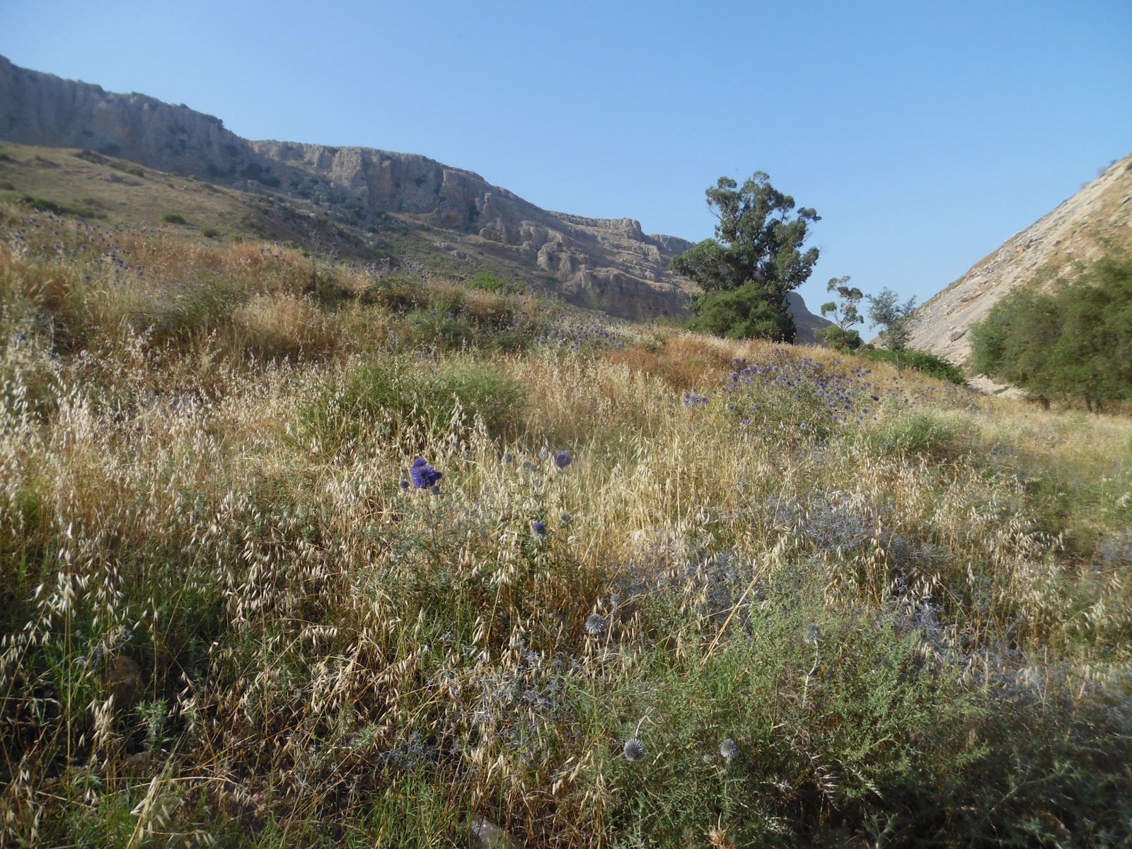
The mountain of Galilee called Arbel is an amazing place. The mountain, at just under 600’ above sea level on first hearing is a bit anemic, but normal statistical facts are just one way of looking at the mountain. The more impressive number comes as one begins to understand that Mount Arbel overlooks the Sea of Galilee, which is currently 700’ below sea level. This means a climb up the mountain (and the view off the mountain) is about 1,300 feet. Both the view and the climb are worth the effort it takes to reach the top.
 |
| The northern view from Mt. Arbel |
An ascent up Mount Arbel begins at a trail head between Magdala and Migdal near the intersection of highways 90 and 807. We got off of a bus, but there is probably also a place for cars. The beginning of the trail is a moderate, but continual ascent with very few stairs.
 |
| Mount Nital next to Mount Arbel |
The trail enters the national park across a cattle guard in an area where bovine are grazing. One web posting said, “If you don’t bother them, they won’t bother you.” The cattle add to the scenic appeal along with wild flowers and various types of plants along the trail.
 |
| Spring flowers on the trail |
The trail ascends between two peaks: Mount Arbel and
Mount Nitai (named after a Rabbi of the 2nd Century BC, who is quoted in the Mishnah as saying, “Keep your distance from bad neighbors, ally yourself not with the wicked and do not abandon hope when faced with calamity.”) Notice as you hike the caves on both mountains.
 |
| The Horns of Hattin seen from our trail |
Rising between the two mountains the hiker will notice the Horns of Hattin, an important battle site where the European Crusaders faced a humiliating defeat to Ayyubid sultan Salah ad-Din, (AKA, Saladin). The actual peak is an old volcano crater.
 |
| A stop at the tall rock |
The trail ascends to an area with rock outcroppings, which provide seating so the view below can be enjoyed. This is a good time to take a break, because the trail will become steeper beyond this point, and most who take the trail will be ready for a rest. The villages of Migdal, Hamaam, and Ginosar can be seen below. The rest can be short, for the view gets better as one ascends.
 |
| Trail signs ... and decisions |
The next stop, along an ascent and several steps is at a set of trail markers. At this point it is time to explore some of the nearby caves and to take pictures of the caves on Mount Arbel and Mount Nitai. When it comes time to move on, a choice must be made between two trails. The trail to the left ascends to the top of Arbel with scenic views of the Sea of Galilee. The trail to the right goes through areas of caves towards the visitor center, away from the lake. Both are very beautiful in their own way. The trail along the caves is more difficult.
 |
| The Sea of Galilee from Mt. Arbel |
The trail to the left crosses many rock outcroppings, contains teps and metal handholds. It ascends between Kinneret and Caro lookouts. The beauty is outstanding. There are many places to sit and enjoy the views, so climbers should not be in a rush to get to the top.
 |
| A Cave Dwelling on Mt. Arbel |
The cave route gives the climber opportunities to visit the Ottoman Fortress and the caves of Refuge. The caves are interesting because they provided safety zones in times of battle. They were large enough for families and many men to live within, but the arrival pathway was very narrow. Attacking armies were required to travel single file, and could easily be pushed off the mountain upon reaching cave entrances.
 |
| Caves on top of caves, a high-rise complex |
The caves became hideouts in 161 BCE, when Seleucid commander Bacchides came to fight Judah Maccabee. They were used again in 25 BCE when the people of Galilee resisted a new governor named Herod the Great. They found use again during the great revolts of 70 and 132 AD.
 |
| The steep ascent at the top |
It could be said that the modern elevator was invented at Arbella. During the revolt of 37 BCE, Governor Herod would not tolerate any resistance, and required his generals to find a way of rooting out the rebels. They finally created a box car which could be lowered from the top of the cliff down to the caves. The car afforded safety railing which prevented soldiers from being shoved off the cliffs.
 |
| Reconstructed elevator from 37 BCE |
Several Jewish communities existed atop Mount Arbel. Jesus visited the mountain often with his disciples, and it is possible the transfiguration took place at this site.


No comments:
Post a Comment